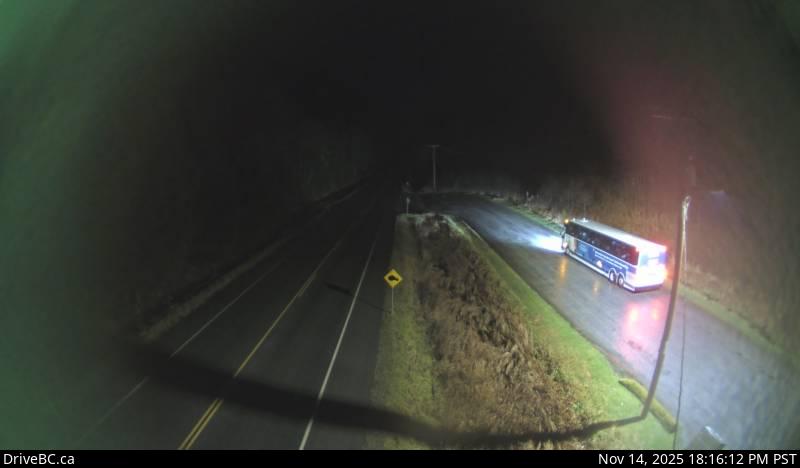
Highway 16 about 34 km east of Prince Rupert near McNeil River at the Rainbow Summit chain-up area, looking west. — live traffic camera
Live traffic camera on Canada. Real-time road conditions updated continuously.
60s
54.206962, -129.979072
Live traffic camera on Canada. Real-time road conditions updated continuously.